File:Königstein map.PNG
From Holocaustmap

Size of this preview: 800 × 555 pixels. Other resolution: 1,268 × 880 pixels.
Original file (1,268 × 880 pixels, file size: 2.53 MB, MIME type: image/png)
Summary
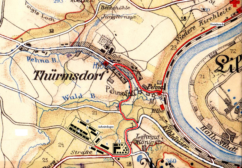
Map showing Flossenbürg-Königstein, forced labour camp and subcamp of Flossenbürg
File history
Click on a date/time to view the file as it appeared at that time.
| Date/Time | Thumbnail | Dimensions | User | Comment | |
|---|---|---|---|---|---|
| current | 06:22, 15 January 2025 | | 1,268 × 880 (2.53 MB) | Davi (talk | contribs) | Map showing Flossenbürg-Königstein, forced labour camp and subcamp of Flossenbürg |
You cannot overwrite this file.
File usage
The following page uses this file:
