Gamvik Kystfort: Difference between revisions
From Holocaustmap
mNo edit summary |
|||
| Line 45: | Line 45: | ||
--> | --> | ||
== | == Location == | ||
<!-- | <!-- | ||
* This location may not be accurate. More research is needed. | * This location may not be accurate. More research is needed. | ||
--> | --> | ||
[https://www.openstreetmap.org/#map=16/ | [https://www.openstreetmap.org/#map=16/71.066142/28.240491 71.066142/28.240491] | ||
geo: (link for navigation systems) | geo:71.066142,28.240491 (link for navigation systems) | ||
* Street Address: [[]] | * Street Address: [[Skytterhusveien]] | ||
* District: [[]] | * District: [[]] | ||
* Town: [[]] | * Town: [[Gamvik]] | ||
* State: [[]] | * State: [[Finnmark]] | ||
* Country: [[]] | * Country: [[Norway]] | ||
= Organisations involved = | = Organisations involved = | ||
Revision as of 16:29, 18 May 2025
Names
- Kystfort HKB 4./480 Gamvik
- Stellung "Geier"
Type
Dates
(YYYY-MM-DD)
- Opened: 1942
- Closed:
Internal and external work details and, if applicable, (known) subcamps
Internal work details (Kommando)
External work details (Aussenkommando)
Subcamps (Aussenlager)
Locations
Location
geo:71.066142,28.240491 (link for navigation systems)
- Street Address: Skytterhusveien
- District: [[]]
- Town: Gamvik
- State: Finnmark
- Country: Norway
Organisations involved
- [[]]
Victims and Survivors
Population information
Names of victims
Names of survivors
Location of graves
Staff
This camp was run by the SS-WVHA/Gestapo/Wehrmacht/DAF/OT
Names of perpetrators and any other people involved
Current status
Status of the site
Accessibility
Memorials
Memorial location
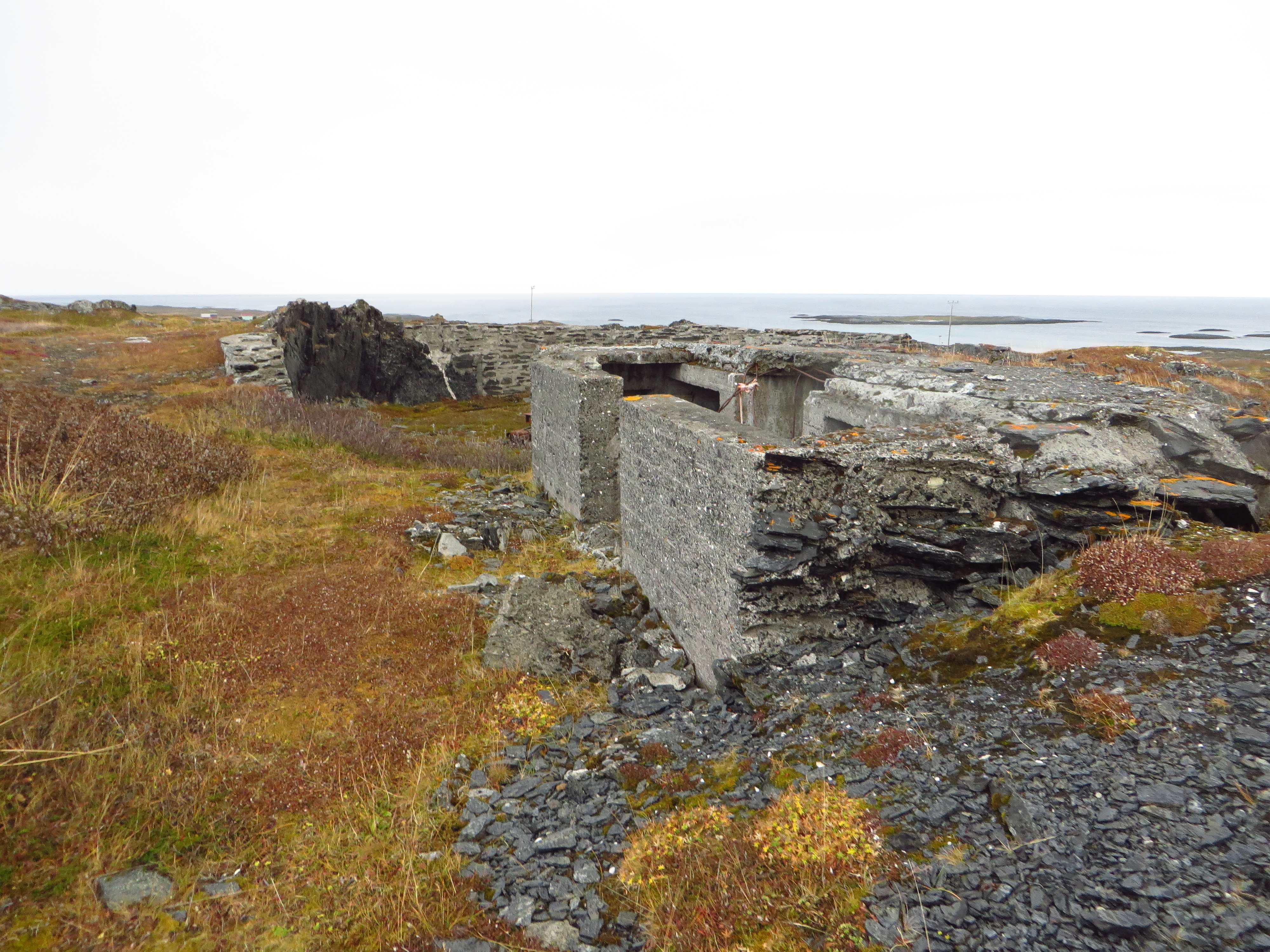
There are some information boards at the place.
Description
Resources
Bibliography
Links
Custodians
Outstanding questions
- Who built this place? Was it connected to the northern Norway concentration camps?
Discrepancies and errata
