Herzogenbusch-Venlo: Difference between revisions
From Holocaustmap
No edit summary |
mNo edit summary |
||
| (4 intermediate revisions by the same user not shown) | |||
| Line 13: | Line 13: | ||
== Location == | == Location == | ||
Camp: [https://www.openstreetmap.org/#map=16/ | Camp: [https://www.openstreetmap.org/#map=16/51.3689/6.2122 51.3689/6.2122]<ref>reference</ref> | ||
* Street Address: [[]] | * Street Address: [[]] | ||
| Line 40: | Line 40: | ||
== Description == | == Description == | ||
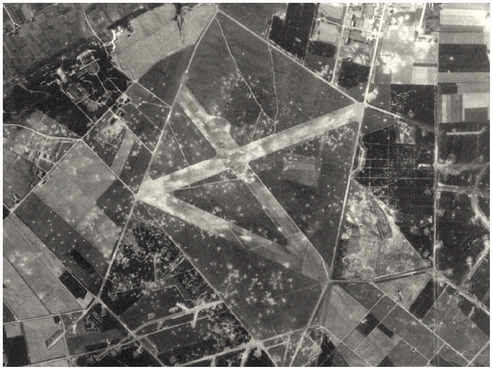
[[File:Fliegerhorst_Venlo_Aerial01.jpg]] | |||
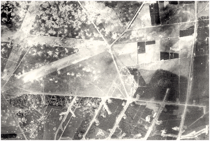
[[File:Fliegerhorst_Venlo_Aerial02.jpg]] | |||
== Sources == | == Sources == | ||
| Line 47: | Line 49: | ||
[[Category:Subcamp]] | [[Category:Subcamp]] | ||
[[Category:Forced | [[Category:Forced labour camp]] | ||
[[Category:SS-WVHA]] | [[Category:SS-WVHA]] | ||
[[Category:Herzogenbusch]] | [[Category:Herzogenbusch]] | ||
[[Category:Nederland]] | [[Category:Nederland]] | ||
Latest revision as of 14:27, 16 May 2024
Names
Fliegerhorst Venlo
Type
List of (known) subcamps
Dates
- Opened: September 1943
- Closed: September 1944[1]
Location
Camp: 51.3689/6.2122[2]
Memorial: No memorial known at this time.
Population
Company Names
[[]]
Victims and Survivors
Names of victims and survivors, if these are known.
Staff
This camp was run by the SS/Gestapo/Wehrmacht.
Names of SS and other people involved in the exploitation, including convictions where applicable.

